Syöte
The southernmost fell area: crown-snow forests, wide ski track networks and good cloudberry bogs.
Koillismaa
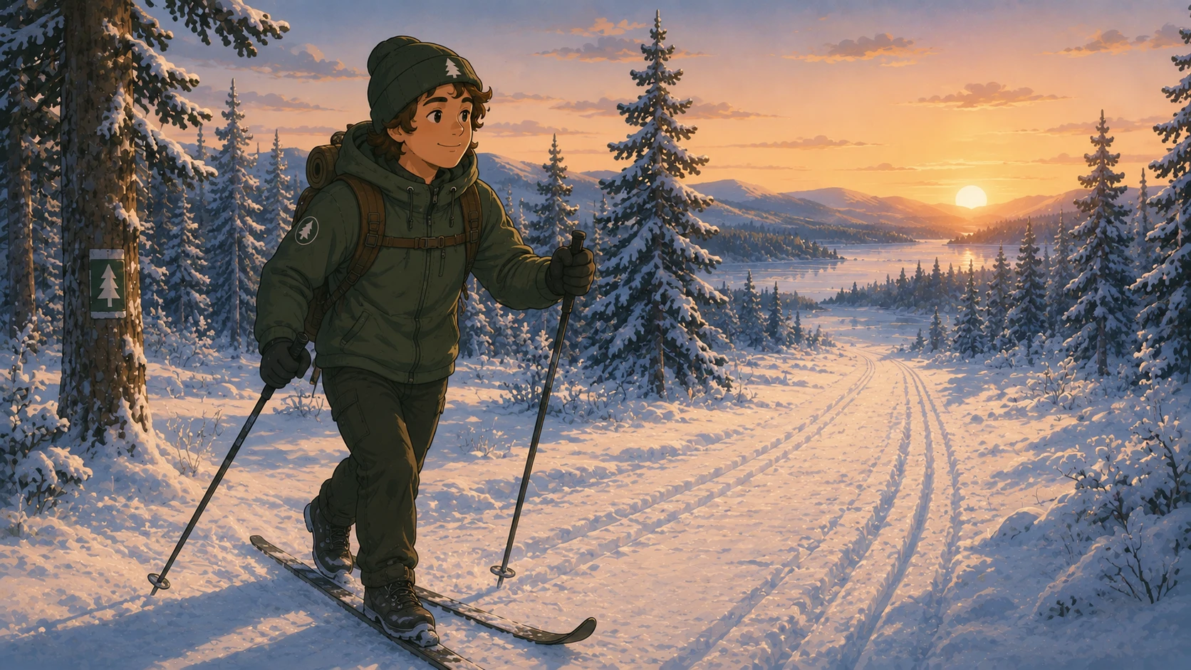
Crown snow and ski tracks
Syöte is Finland's southernmost fell area, and in winter its spruce forests carry the crown snow that made the landscape famous. The track network around Iso-Syöte and Pikku-Syöte is over a hundred kilometres and appears in the app from Lipas. Conditions are computed from the weather; the summit is colder and windier than the valley.
The national park's trails
Syöte National Park's marked trails run between the hills through old forest and mires; the Pytkynharju loop is the most popular day walk. Trail weather shows the weather for every section, and lean-tos and fire sites are listed with distances.
Cloudberry mires
The open mires are known cloudberry ground. The habitat shading shows mires that meet cloudberry's requirements, and ripeness follows the season: in Koillismaa cloudberries ripen in late July.
Syöte: what you can do here
Hiking
Marked trails, elevation profile and weather-based trail conditions. See lean-tos, campfire sites, wilderness…
Berries and mushrooms
Blueberry, lingonberry, cloudberry, chanterelle, bolete, funnel chanterelle — Eräkaveri highlights forest…
Ski tracks
The ski track network on the map, ski conditions from the weather and an ice model for lakes. Tracks come from…